 vesseltracker.com
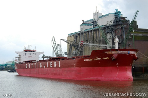
 PAMPERO
Current Status
Where is the vessel?
PAMPERO is currently in 11 nm W of Llanwrda, based on AIS data received less than 1h ago.
Latest AIS update:
Current position: 51.93367° N, 3.57915° E (11 nm W of Llanwrda)
Average speed (last 7 days): Loading…
Average speed (last 30 days): Loading…
Vessel profile: PAMPERO is a Bulk Carrier with dimensions m x m.
This page combines live AIS, route history, probable destination signals, nearby traffic, and port activity for practical vessel monitoring.
The current position of vessel PAMPERO is 51.93367 lat / 3.57915 lng. Updated: 2026-05-14 22:37:22 UTCNearest reference points:
- 12 nm NE of Hunsdon
- Near NEELTJE JANS
- Near Hunsdon
Currently sailing under the flag of Marshall Islands ![]()
Details:
Live Vessel PAMPERO Analytics (details, animations, etc.)
Recent AIS points (UTC):
2026-05-14 19:42:35 UTC · 51.91575, 3.62818 · SOG 0 kn · COG 22°2026-05-14 20:04:01 UTC · 51.91579, 3.62830 · SOG 0 kn · COG 22°
2026-05-14 22:01:03 UTC · 51.91828, 3.63195 · SOG 1.5 kn · COG 344°
2026-05-14 22:37:22 UTC · 51.93367, 3.57915 · SOG 4.7 kn · COG 268°