 vesseltracker.com
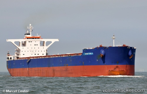
 CAPTAIN PETROS H
Current Status
Where is the vessel?
CAPTAIN PETROS H is currently in 42 nm NW of Pointe aux Canonniers, based on AIS data received less than 1h ago.
Latest AIS update:
Current position: 19.47837° S, 57.04965° E (42 nm NW of Pointe aux Canonniers)
Average speed (last 7 days): Loading…
Average speed (last 30 days): Loading…
Vessel profile: CAPTAIN PETROS H is a Cargo with dimensions m x m.
This page combines live AIS, route history, probable destination signals, nearby traffic, and port activity for practical vessel monitoring.
The current position of vessel CAPTAIN PETROS H is -19.47837 lat / 57.04965 lng. Updated: 2026-05-14 17:54:27 UTCNearest reference points:
- Near Port Louis
- 164 nm NW of Pointe aux Canonniers
Currently sailing under the flag of Liberia ![]()
Details:
Live Vessel CAPTAIN PETROS H Analytics (details, animations, etc.)
Recent AIS points (UTC):
2026-05-14 14:11:04 UTC · -19.09297, 57.67849 · SOG 11.2 kn · COG 236°2026-05-14 15:51:47 UTC · -19.25886, 57.39785 · SOG 11.4 kn · COG 233°
2026-05-14 16:26:18 UTC · -19.31820, 57.29943 · SOG 11.5 kn · COG 233°
2026-05-14 17:54:27 UTC · -19.47837, 57.04965 · SOG 11.8 kn · COG 235°