 vesseltracker.com
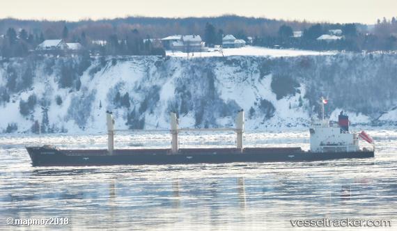
 SIDER TRADER
Current Status
Where is the vessel?
SIDER TRADER is currently in 80 nm W of Paleochora, based on AIS data received less than 1h ago.
Latest AIS update:
Current position: 34.84024° N, 22.10292° E (80 nm W of Paleochora)
Average speed (last 7 days): Loading…
Average speed (last 30 days): Loading…
Vessel profile: SIDER TRADER is a General Cargo with dimensions m x m.
This page combines live AIS, route history, probable destination signals, nearby traffic, and port activity for practical vessel monitoring.
The current position of vessel SIDER TRADER is 34.84024 lat / 22.10292 lng. Updated: 2026-04-29 16:46:58 UTCNearest reference points:
- 85 nm W of Paleochora
- 59 nm W of Paleochora
- Near Kythira
Currently sailing under the flag of Portugal ![]()
Details:
Live Vessel SIDER TRADER Analytics (details, animations, etc.)
Recent AIS points (UTC):
2026-04-29 13:25:08 UTC · 34.70564, 22.85604 · SOG 11.3 kn · COG 283°2026-04-29 14:26:28 UTC · 34.74629, 22.62661 · SOG 11.3 kn · COG 284°
2026-04-29 15:48:58 UTC · 34.80122, 22.31922 · SOG 11.1 kn · COG 285°
2026-04-29 16:46:58 UTC · 34.84024, 22.10292 · SOG 11.5 kn · COG 284°