 vesseltracker.com
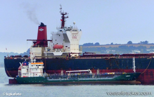
 ANDREA
Current Status
Where is the vessel?
ANDREA is currently in 24 nm SE of Bergkvara, based on AIS data received about 2h ago.
Latest AIS update:
Current position: 56.03208° N, 16.40112° E (24 nm SE of Bergkvara)
Average speed (last 7 days): Loading…
Average speed (last 30 days): Loading…
Vessel profile: ANDREA is a Oil Products Tanker with dimensions 77m x 11m.
This page combines live AIS, route history, probable destination signals, nearby traffic, and port activity for practical vessel monitoring.
The current position of vessel ANDREA is 56.03208 lat / 16.40112 lng. Updated: 2026-05-15 01:15:51 UTCNearest reference points:
- Near Karlskrona
- 31 nm NW of Ustka
- Near RONNEBY
Currently sailing under the flag of Denmark ![]()
ANDREA built in 2008 year
Deadweight:
1942 tDetails:
Live Vessel ANDREA Analytics (details, animations, etc.)
Recent AIS points (UTC):
2026-05-14 22:01:10 UTC · 56.29270, 17.08618 · SOG 8.2 kn · COG 232°2026-05-14 22:37:18 UTC · 56.24339, 16.96668 · SOG 8.2 kn · COG 232°
2026-05-14 23:58:50 UTC · 56.12917, 16.69088 · SOG 8.5 kn · COG 239°
2026-05-15 01:15:51 UTC · 56.03208, 16.40112 · SOG 8.7 kn · COG 241°