 vesseltracker.com
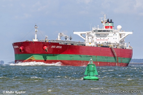
 TORM GAURI
Current Status
Where is the vessel?
TORM GAURI is currently in Near Burnaby, based on AIS data received about 1h ago.
Latest AIS update:
Current position: 49.29225° N, 122.95607° W (Near Burnaby)
Average speed (last 7 days): Loading…
Average speed (last 30 days): Loading…
Vessel profile: TORM GAURI is a Oil Products Tanker with dimensions m x m.
This page combines live AIS, route history, probable destination signals, nearby traffic, and port activity for practical vessel monitoring.
The current position of vessel TORM GAURI is 49.29225 lat / -122.95607 lng. Updated: 2026-05-15 20:07:06 UTCNearest reference points:
- Near Fraser Mills
- Near North Vancouver
- Near FRASER SURREY
Currently sailing under the flag of Denmark ![]()
Details:
Live Vessel TORM GAURI Analytics (details, animations, etc.)
Recent AIS points (UTC):
2026-05-15 16:41:09 UTC · 49.30177, -122.93767 · SOG 0.1 kn · COG 150°2026-05-15 18:07:59 UTC · 49.30169, -122.93625 · SOG 0.3 kn · COG 183°
2026-05-15 19:49:08 UTC · 49.29228, -122.95609 · SOG 0 kn · COG 108°
2026-05-15 20:07:06 UTC · 49.29225, -122.95607 · SOG 0 kn · COG 108°