 vesseltracker.com
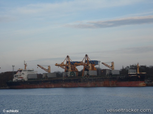
 HENG TAI HONG
Current Status
Where is the vessel?
HENG TAI HONG is currently in 286 nm E of Richards Bay, based on AIS data received about 1h ago.
Latest AIS update:
Current position: 29.22121° S, 37.55328° E (286 nm E of Richards Bay)
Average speed (last 7 days): Loading…
Average speed (last 30 days): Loading…
Vessel profile: HENG TAI HONG is a Bulk Carrier with dimensions 23m x 190m.
This page combines live AIS, route history, probable destination signals, nearby traffic, and port activity for practical vessel monitoring.
The current position of vessel HENG TAI HONG is -29.22121 lat / 37.55328 lng. Updated: 2026-05-14 16:07:29 UTCNearest reference points:
- 358 nm E of Richards Bay
- Open sea, approx. 401 nm off the nearest listed port
- Open sea, approx. 402 nm off the nearest listed port
Currently sailing under the flag of China Peopless Republic ![]()
HENG TAI HONG built in 2010 year
Deadweight:
56865 tDetails:
Live Vessel HENG TAI HONG Analytics (details, animations, etc.)
Recent AIS points (UTC):
2026-05-14 13:33:21 UTC · -29.09833, 37.95333 · SOG 8 kn · COG -1°2026-05-14 13:51:36 UTC · -29.11446, 37.90681 · SOG 7.7 kn · COG 248°
2026-05-14 16:00:19 UTC · -29.21500, 37.57167 · SOG 8 kn · COG -1°
2026-05-14 16:07:29 UTC · -29.22121, 37.55328 · SOG 9.6 kn · COG 255°