 vesseltracker.com
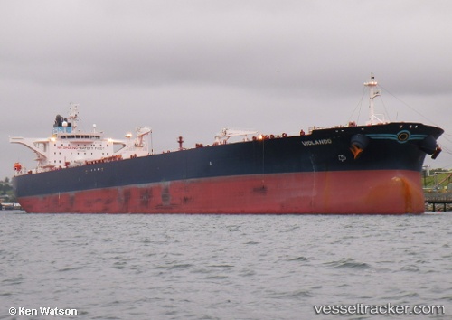
Violando
Current StatusWhere is the vessel?
Violando is currently in 16 nm SW of Albanchez, based on AIS data received less than 1h ago.
Latest AIS update:
Current position: 37.04768° N, 2.03307° E (16 nm SW of Albanchez)
Average speed (last 7 days): Loading…
Average speed (last 30 days): Loading…
Vessel profile: Violando is a Crude Oil Tanker with dimensions 50m x 274m.
This page combines live AIS, route history, probable destination signals, nearby traffic, and port activity for practical vessel monitoring.
The current position of vessel Violando is 37.04768 lat / 2.03307 lng. Updated: 2026-05-13 19:49:10 UTCNearest reference points:
- 17 nm S of Albanchez
- 16 nm NE of Berja
- Near Algiers
Details:
Live Vessel Violando Analytics (details, animations, etc.)
Recent AIS points (UTC):
2026-05-13 15:37:20 UTC · 37.22818, 3.00870 · SOG 11.1 kn · COG 258°2026-05-13 16:36:21 UTC · 37.19156, 2.78329 · SOG 11.3 kn · COG 268°
2026-05-13 17:25:39 UTC · 37.15989, 2.59393 · SOG 11.3 kn · COG 266°
2026-05-13 19:49:10 UTC · 37.04768, 2.03307 · SOG 12.1 kn · COG 255°