 vesseltracker.com
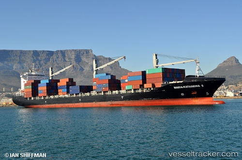
 VIVALDI
Current Status
Where is the vessel?
VIVALDI is currently in 62 nm N of Nieuw Amsterdam, based on AIS data received about 1h ago.
Latest AIS update:
Current position: 6.86571° N, 55.38882° W (62 nm N of Nieuw Amsterdam)
Average speed (last 7 days): Loading…
Average speed (last 30 days): Loading…
Vessel profile: VIVALDI is a Container Ship with dimensions 209m x 30m.
This page combines live AIS, route history, probable destination signals, nearby traffic, and port activity for practical vessel monitoring.
The current position of vessel VIVALDI is 6.86571 lat / -55.38882 lng. Updated: 2026-05-15 14:09:47 UTCNearest reference points:
- 38 nm NW of Jarikaba
- Near Paramaribo Zorg en Hoop Airport
Currently sailing under the flag of Liberia ![]()
VIVALDI built in 2010 year
Deadweight:
34264 tDetails:
Live Vessel VIVALDI Analytics (details, animations, etc.)
Recent AIS points (UTC):
2026-05-15 10:18:10 UTC · 6.98458, -56.11077 · SOG 2.2 kn · COG 164°2026-05-15 12:01:02 UTC · 6.94032, -55.81560 · SOG 13.6 kn · COG 100°
2026-05-15 13:52:02 UTC · 6.87188, -55.40445 · SOG 7.2 kn · COG 101°
2026-05-15 14:09:47 UTC · 6.86571, -55.38882 · SOG 1.4 kn · COG 150°