 vesseltracker.com
Maria
Current StatusWhere is the vessel?
Maria is currently in 17 nm W of HNB SEZ/Mumbai, based on AIS data received less than 1h ago.
Latest AIS update:
Current position: 19.03338° N, 72.53306° E (17 nm W of HNB SEZ/Mumbai)
Average speed (last 7 days): Loading…
Average speed (last 30 days): Loading…
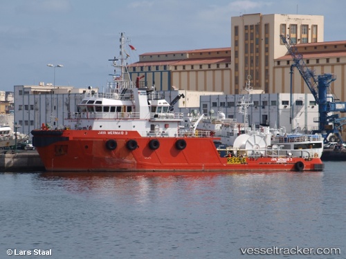
Vessel profile: Maria is a Offshore Tug Supply Ship with dimensions 13m x 49m.
This page combines live AIS, route history, probable destination signals, nearby traffic, and port activity for practical vessel monitoring.
The current position of vessel Maria is 19.03338 lat / 72.53306 lng. Updated: 2026-05-15 13:42:13 UTCNearest reference points:
- Near HNB SEZ/Mumbai
- Near Mumbai
- Near NHAVA SHEVA
Details:
Live Vessel Maria Analytics (details, animations, etc.)
Recent AIS points (UTC):
2026-05-15 10:11:30 UTC · 18.79622, 72.65340 · SOG 0.3 kn · COG 343°2026-05-15 10:41:21 UTC · 18.79623, 72.65349 · SOG 0.7 kn · COG 338°
2026-05-15 11:34:01 UTC · 18.81871, 72.62252 · SOG 5.1 kn · COG 326°
2026-05-15 13:42:13 UTC · 19.03338, 72.53306 · SOG 6.4 kn · COG 335°