 vesseltracker.com
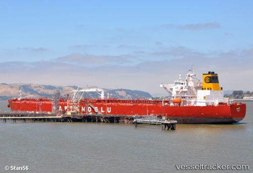
 Eser K
Current Status
Where is the vessel?
Eser K is currently in 170 nm E of Abakaliki, based on AIS data received less than 1h ago.
Latest AIS update:
Current position: 6.03167° N, 88.83670° E (170 nm E of Abakaliki)
Average speed (last 7 days): Loading…
Average speed (last 30 days): Loading…
Vessel profile: Eser K is a Crude Oil Tanker with dimensions 250m x 44m.
This page combines live AIS, route history, probable destination signals, nearby traffic, and port activity for practical vessel monitoring.
The current position of vessel Eser K is 6.03167 lat / 88.8367 lng. Updated: 2026-05-15 04:24:05 UTCNearest reference points:
- 243 nm E of Abakaliki
Currently sailing under the flag of Malta ![]()
Eser K built in 2010 year
Deadweight:
115830 tDetails:
Live Vessel Eser K Analytics (details, animations, etc.)
Recent AIS points (UTC):
2026-05-14 22:48:57 UTC · 5.93970, 87.52720 · SOG 13.9 kn · COG 87°2026-05-15 00:05:27 UTC · 5.94815, 87.82500 · SOG 14.1 kn · COG 86°
2026-05-15 03:36:06 UTC · 5.99833, 88.64830 · SOG 14 kn · COG -1°
2026-05-15 04:24:05 UTC · 6.03167, 88.83670 · SOG 14 kn · COG -1°