 vesseltracker.com
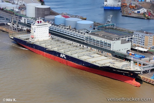
 ANL OTAGO
Current Status
Where is the vessel?
ANL OTAGO is currently in 144 nm S of Makeni, based on AIS data received about 1h ago.
Latest AIS update:
Current position: 26.54956° S, 172.08942° E (144 nm S of Makeni)
Average speed (last 7 days): Loading…
Average speed (last 30 days): Loading…
Vessel profile: ANL OTAGO is a Container Ship with dimensions m x m.
This page combines live AIS, route history, probable destination signals, nearby traffic, and port activity for practical vessel monitoring.
The current position of vessel ANL OTAGO is -26.54956 lat / 172.08942 lng. Updated: 2026-05-02 11:50:13 UTCCurrently sailing under the flag of Liberia ![]()
Details:
Live Vessel ANL OTAGO Analytics (details, animations, etc.)
Recent AIS points (UTC):
2026-05-02 09:34:49 UTC · -27.10251, 172.55202 · SOG 18.5 kn · COG 324°2026-05-02 10:37:55 UTC · -26.84001, 172.33150 · SOG 18.6 kn · COG 326°
2026-05-02 11:50:13 UTC · -26.54956, 172.08942 · SOG 17.8 kn · COG 326°
2026-05-02 11:50:13 UTC · -26.54956, 172.08942 · SOG 17.8 kn · COG 326°