 vesseltracker.com
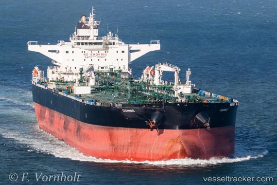
 Giannis
Current Status
Where is the vessel?
Giannis is currently in 73 nm N of Sinop, based on AIS data received about 1d ago.
Latest AIS update:
Current position: 43.21361° N, 35.35319° E (73 nm N of Sinop)
Average speed (last 7 days): Loading…
Average speed (last 30 days): Loading…
Vessel profile: Giannis is a Crude Oil Tanker with dimensions 274m x 274m.
This page combines live AIS, route history, probable destination signals, nearby traffic, and port activity for practical vessel monitoring.
The current position of vessel Giannis is 43.21361 lat / 35.35319 lng. Updated: 2026-03-25 02:37:34 UTCNearest reference points:
- 76 nm N of Sinop
- 79 nm SE of Yalta
- 51 nm N of Sinop
Currently sailing under the flag of Liberia ![]()
Giannis built in 2011 year
Deadweight:
149999 tDetails:
Live Vessel Giannis Analytics (details, animations, etc.)
Recent AIS points (UTC):
2026-03-25 00:22:58 UTC · 43.19815, 34.97192 · SOG 7.5 kn · COG -1°2026-03-25 02:37:34 UTC · 43.21361, 35.35319 · SOG 7.5 kn · COG 85°
2026-03-25 02:37:34 UTC · 43.21361, 35.35319 · SOG 7.5 kn · COG 85°
2026-03-25 02:37:34 UTC · 43.21361, 35.35319 · SOG 7.5 kn · COG 85°