 vesseltracker.com
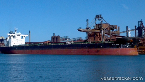
Mariloula
Current StatusWhere is the vessel?
Mariloula is currently in 112 nm SW of Bubaque, based on AIS data received less than 1h ago.
Latest AIS update:
Current position: 9.79463° N, 16.98743° W (112 nm SW of Bubaque)
Average speed (last 7 days): Loading…
Average speed (last 30 days): Loading…
Vessel profile: Mariloula is a Bulk Carrier with dimensions 45m x 292m.
This page combines live AIS, route history, probable destination signals, nearby traffic, and port activity for practical vessel monitoring.
The current position of vessel Mariloula is 9.79463 lat / -16.98743 lng. Updated: 2026-05-14 07:21:51 UTCNearest reference points:
- 144 nm SW of Bubaque
- 97 nm SW of Port de Boké
- 79 nm SW of Conakry
Details:
Live Vessel Mariloula Analytics (details, animations, etc.)
Recent AIS points (UTC):
2026-05-14 04:13:08 UTC · 9.27520, -16.69432 · SOG 11.4 kn · COG 330°2026-05-14 06:10:38 UTC · 9.59660, -16.87183 · SOG 11.3 kn · COG 328°
2026-05-14 06:59:37 UTC · 9.73213, -16.95095 · SOG 11.5 kn · COG 330°
2026-05-14 07:21:51 UTC · 9.79463, -16.98743 · SOG 11.5 kn · COG 330°