 vesseltracker.com
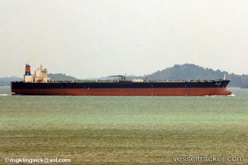
New Resource
Current StatusWhere is the vessel?
New Resource is currently in 67 nm SE of Abakaliki, based on AIS data received less than 1h ago.
Latest AIS update:
Current position: 5.80014° N, 86.99178° E (67 nm SE of Abakaliki)
Average speed (last 7 days): Loading…
Average speed (last 30 days): Loading…
Vessel profile: New Resource is a Crude Oil Tanker with dimensions 60m x 331m.
This page combines live AIS, route history, probable destination signals, nearby traffic, and port activity for practical vessel monitoring.
The current position of vessel New Resource is 5.80014 lat / 86.99178 lng. Updated: 2026-05-15 07:34:38 UTCNearest reference points:
- 23 nm S of Abakaliki
- 46 nm SW of Abakaliki
Details:
Live Vessel New Resource Analytics (details, animations, etc.)
Recent AIS points (UTC):
2026-05-15 04:24:20 UTC · 5.72828, 86.23540 · SOG 14.1 kn · COG 91°2026-05-15 06:07:32 UTC · 5.76786, 86.64512 · SOG 14.3 kn · COG 83°
2026-05-15 07:32:51 UTC · 5.79978, 86.98456 · SOG 14.5 kn · COG 87°
2026-05-15 07:34:38 UTC · 5.80014, 86.99178 · SOG 14.5 kn · COG 88°