 vesseltracker.com
 SONGA TIGER
Current Status
Where is the vessel?
SONGA TIGER is currently in 236 nm N of Ahe, based on AIS data received less than 1h ago.
Latest AIS update:
Current position: 10.50374° S, 146.42538° W (236 nm N of Ahe)
Average speed (last 7 days): Loading…
Average speed (last 30 days): Loading…
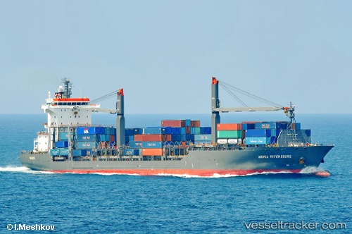
Vessel profile: SONGA TIGER is a Container Ship with dimensions 176m x 28m.
This page combines live AIS, route history, probable destination signals, nearby traffic, and port activity for practical vessel monitoring.
The current position of vessel SONGA TIGER is -10.50374 lat / -146.42538 lng. Updated: 2026-05-17 07:36:18 UTCCurrently sailing under the flag of Liberia ![]()
SONGA TIGER built in 2008 year
Deadweight:
23415 tDetails:
Live Vessel SONGA TIGER Analytics (details, animations, etc.)
Recent AIS points (UTC):
2026-05-17 04:36:59 UTC · -9.90919, -146.14230 · SOG 13.2 kn · COG 204°2026-05-17 05:36:39 UTC · -10.10755, -146.23506 · SOG 13 kn · COG 202°
2026-05-17 07:18:01 UTC · -10.44275, -146.39719 · SOG 12.8 kn · COG 199°
2026-05-17 07:36:18 UTC · -10.50374, -146.42538 · SOG 13.1 kn · COG 199°