 vesseltracker.com
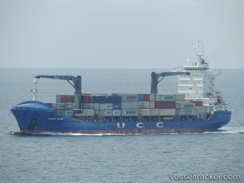
Contship Way
Current StatusWhere is the vessel?
Contship Way is currently in Near Hibiki-Nada, based on AIS data received less than 1h ago.
Latest AIS update:
Current position: 33.93494° N, 130.36476° E (Near Hibiki-Nada)
Average speed (last 7 days): Loading…
Average speed (last 30 days): Loading…
Vessel profile: Contship Way is a Container Ship with dimensions 24m x 148m.
This page combines live AIS, route history, probable destination signals, nearby traffic, and port activity for practical vessel monitoring.
The current position of vessel Contship Way is 33.93494 lat / 130.36476 lng. Updated: 2026-05-14 12:00:33 UTCNearest reference points:
- Near Hibiki-Nada
- Near Hakata
- Near Hibikishinko
Details:
Live Vessel Contship Way Analytics (details, animations, etc.)
Recent AIS points (UTC):
2026-05-14 07:50:34 UTC · 33.96918, 131.00467 · SOG 0 kn · COG 293°2026-05-14 10:27:31 UTC · 34.04246, 130.75777 · SOG 13.6 kn · COG 272°
2026-05-14 11:02:57 UTC · 34.03275, 130.59718 · SOG 13.9 kn · COG 250°
2026-05-14 12:00:33 UTC · 33.93494, 130.36476 · SOG 13.5 kn · COG 202°