 vesseltracker.com
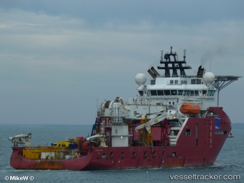
 Skandi Hercules
Current Status
Where is the vessel?
Skandi Hercules is currently in 64 nm N of Four Vanguard, based on AIS data received less than 1h ago.
Latest AIS update:
Current position: 19.87167° S, 114.60667° E (64 nm N of Four Vanguard)
Average speed (last 7 days): Loading…
Average speed (last 30 days): Loading…
Vessel profile: Skandi Hercules is a Offshore Tug Supply Ship with dimensions 109m x 109m.
This page combines live AIS, route history, probable destination signals, nearby traffic, and port activity for practical vessel monitoring.
The current position of vessel Skandi Hercules is -19.87167 lat / 114.60667 lng. Updated: 2026-05-16 07:47:25 UTCCurrently sailing under the flag of Bahamas ![]()
Skandi Hercules built in 2010 year
Deadweight:
5750 tDetails:
Live Vessel Skandi Hercules Analytics (details, animations, etc.)
Recent AIS points (UTC):
2026-05-16 04:35:24 UTC · -19.86833, 114.60833 · SOG 0 kn · COG -1°2026-05-16 06:01:36 UTC · -19.86937, 114.60813 · SOG 0.3 kn · COG 359°
2026-05-16 07:47:25 UTC · -19.87167, 114.60667 · SOG 0 kn · COG -1°
2026-05-16 07:47:25 UTC · -19.87167, 114.60667 · SOG 0 kn · COG -1°