 vesseltracker.com
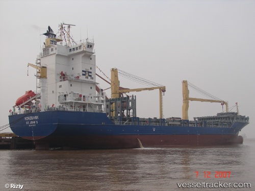
 Hohebank
Current Status
Where is the vessel?
Hohebank is currently in 61 nm W of Basse-Terre, based on AIS data received about 2h ago.
Latest AIS update:
Current position: 15.81344° N, 62.77303° W (61 nm W of Basse-Terre)
Average speed (last 7 days): Loading…
Average speed (last 30 days): Loading…
Vessel profile: Hohebank is a Container Ship with dimensions 139m x 23m.
This page combines live AIS, route history, probable destination signals, nearby traffic, and port activity for practical vessel monitoring.
The current position of vessel Hohebank is 15.81344 lat / -62.77303 lng. Updated: 2026-05-15 01:13:18 UTCNearest reference points:
- Near Pointe A Pitre
- Near Le Gosier
- Near ANTIGUA
Currently sailing under the flag of Antigua Barbuda ![]()
Hohebank built in 2007 year
Deadweight:
11828 tDetails:
Live Vessel Hohebank Analytics (details, animations, etc.)
Recent AIS points (UTC):
2026-05-14 21:02:17 UTC · 14.89279, -62.59088 · SOG 14 kn · COG 347°2026-05-14 22:03:47 UTC · 15.11907, -62.64277 · SOG 12.9 kn · COG 351°
2026-05-15 00:07:28 UTC · 15.57534, -62.72969 · SOG 13.1 kn · COG 350°
2026-05-15 01:13:18 UTC · 15.81344, -62.77303 · SOG 13 kn · COG 349°