 SUA
SUA
Current Status
Where is the vessel?
SUA is currently in 57 nm W of Figuera Da Foz, based on AIS data received about 14h ago.
Latest AIS update:
Current position: 40.36048° N, 10.09157° W (57 nm W of Figuera Da Foz)
Average speed (last 7 days): Loading…
Average speed (last 30 days): Loading…
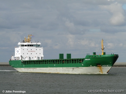
Vessel profile: SUA is a General Cargo with dimensions m x m.
This page combines live AIS, route history, probable destination signals, nearby traffic, and port activity for practical vessel monitoring.
The current position of vessel SUA is 40.36048 lat / -10.09157 lng. Updated: 2026-05-23 20:01:10 UTCNearest reference points:
- 52 nm W of Canas de Santa Maria
- Near Figuera Da Foz
- 11 nm S of Sarinena
Currently sailing under the flag of Portugal ![]()
Details:
Live Vessel SUA Analytics (details, animations, etc.)
Recent AIS points (UTC):
2026-05-23 16:19:19 UTC · 41.02333, -10.07500 · SOG 10 kn · COG -1°2026-05-23 17:24:29 UTC · 40.83196, -10.08712 · SOG 10.6 kn · COG 179°
2026-05-23 19:16:19 UTC · 40.49333, -10.08833 · SOG 10 kn · COG -1°
2026-05-23 20:01:10 UTC · 40.36048, -10.09157 · SOG 10.7 kn · COG 179°