 vesseltracker.com
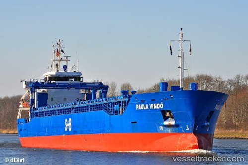
 KARITA
Current Status
Where is the vessel?
KARITA is currently in Near PALJASSAARE , based on AIS data received less than 1h ago.
Latest AIS update:
Current position: 59.45881° N, 24.71408° E (Near PALJASSAARE )
Average speed (last 7 days): Loading…
Average speed (last 30 days): Loading…
Vessel profile: KARITA is a General Cargo with dimensions m x m.
This page combines live AIS, route history, probable destination signals, nearby traffic, and port activity for practical vessel monitoring.
The current position of vessel KARITA is 59.45881 lat / 24.71408 lng. Updated: 2026-05-16 08:25:26 UTCNearest reference points:
- Near Vanasadam
- Near Aegna
- Near Nurme
Currently sailing under the flag of Antigua and Barbuda ![]()
Details:
Live Vessel KARITA Analytics (details, animations, etc.)
Recent AIS points (UTC):
2026-05-16 04:13:35 UTC · 59.45878, 24.71409 · SOG 0 kn · COG 73°2026-05-16 05:43:35 UTC · 59.45881, 24.71410 · SOG 0 kn · COG 73°
2026-05-16 07:31:27 UTC · 59.45878, 24.71411 · SOG 0 kn · COG 73°
2026-05-16 08:25:26 UTC · 59.45881, 24.71408 · SOG 0 kn · COG 73°