 vesseltracker.com
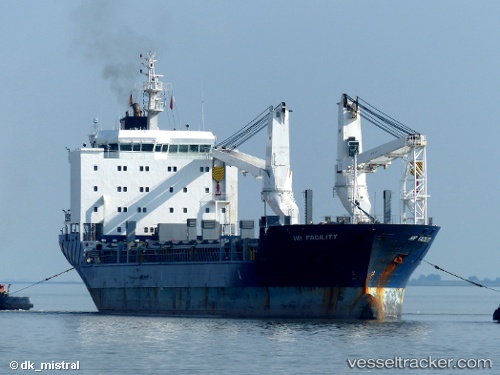
 OCEAN7 ALGORA
Current Status
Where is the vessel?
OCEAN7 ALGORA is currently in 142 nm SW of Greenville, based on AIS data received less than 1h ago.
Latest AIS update:
Current position: 3.47553° N, 10.87716° W (142 nm SW of Greenville)
Average speed (last 7 days): Loading…
Average speed (last 30 days): Loading…
Vessel profile: OCEAN7 ALGORA is a General Cargo with dimensions m x m.
This page combines live AIS, route history, probable destination signals, nearby traffic, and port activity for practical vessel monitoring.
The current position of vessel OCEAN7 ALGORA is 3.47553 lat / -10.87716 lng. Updated: 2026-05-14 03:14:52 UTCNearest reference points:
- 110 nm SW of River Cess
- 98 nm SW of Harper
- 15 nm SW of Buchanan
Currently sailing under the flag of Liberia ![]()
Details:
Live Vessel OCEAN7 ALGORA Analytics (details, animations, etc.)
Recent AIS points (UTC):
2026-05-13 23:31:12 UTC · 4.04095, -11.29640 · SOG 11.6 kn · COG 147°2026-05-14 01:37:12 UTC · 3.71535, -11.06395 · SOG 10.9 kn · COG 147°
2026-05-14 01:38:10 UTC · 3.71283, -11.06219 · SOG 10.9 kn · COG 144°
2026-05-14 03:14:52 UTC · 3.47553, -10.87716 · SOG 10.8 kn · COG 143°