 vesseltracker.com
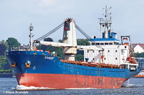
 HAGRID
Current Status
Where is the vessel?
HAGRID is currently in 21 nm NW of Lucciana, based on AIS data received less than 1h ago.
Latest AIS update:
Current position: 43.73705° N, 9.03155° E (21 nm NW of Lucciana)
Average speed (last 7 days): Loading…
Average speed (last 30 days): Loading…
Vessel profile: HAGRID is a General Cargo with dimensions m x m.
This page combines live AIS, route history, probable destination signals, nearby traffic, and port activity for practical vessel monitoring.
The current position of vessel HAGRID is 43.73705 lat / 9.03155 lng. Updated: 2026-05-13 17:29:32 UTCNearest reference points:
- 27 nm NW of Lucciana
- Near Lucciana
- 14 nm S of Sestri Levante
Currently sailing under the flag of Barbados ![]()
Details:
Live Vessel HAGRID Analytics (details, animations, etc.)
Recent AIS points (UTC):
2026-05-13 14:21:42 UTC · 43.34164, 9.37843 · SOG 8.4 kn · COG 317°2026-05-13 15:35:29 UTC · 43.49224, 9.24660 · SOG 9.1 kn · COG 353°
2026-05-13 16:35:03 UTC · 43.61809, 9.13372 · SOG 9 kn · COG 323°
2026-05-13 17:29:32 UTC · 43.73705, 9.03155 · SOG 9.4 kn · COG 324°