 vesseltracker.com
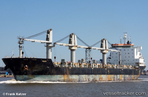
Aramis
Current StatusWhere is the vessel?
Aramis is currently in Near Colon, based on AIS data received less than 1h ago.
Latest AIS update:
Current position: 9.42722° N, 79.93323° W (Near Colon)
Average speed (last 7 days): Loading…
Average speed (last 30 days): Loading…
Vessel profile: Aramis is a General Cargo Ship with dimensions 28m x 183m.
This page combines live AIS, route history, probable destination signals, nearby traffic, and port activity for practical vessel monitoring.
The current position of vessel Aramis is 9.42722 lat / -79.93323 lng. Updated: 2026-05-14 18:05:06 UTCNearest reference points:
- Near Colon
- Near COLON 2000
- Near Colón Free Zone
Details:
Live Vessel Aramis Analytics (details, animations, etc.)
Recent AIS points (UTC):
2026-05-14 14:15:46 UTC · 9.39670, -79.91779 · SOG 0.5 kn · COG 7°2026-05-14 16:23:17 UTC · 9.47806, -79.90424 · SOG 2.2 kn · COG 212°
2026-05-14 16:48:36 UTC · 9.44892, -79.91975 · SOG 6.1 kn · COG 213°
2026-05-14 18:05:06 UTC · 9.42722, -79.93323 · SOG 0.2 kn · COG 246°