 vesseltracker.com
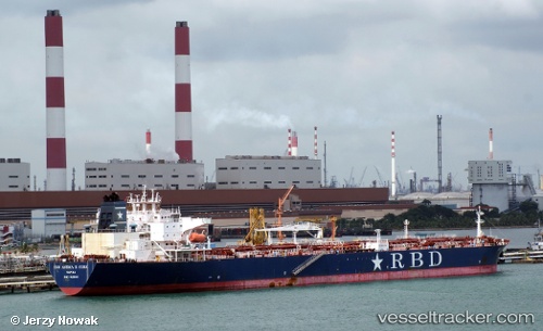
 PS AMALFI
Current Status
Where is the vessel?
PS AMALFI is currently in 27 nm NW of West End, based on AIS data received about 1h ago.
Latest AIS update:
Current position: 27.01167° N, 79.32000° W (27 nm NW of West End)
Average speed (last 7 days): Loading…
Average speed (last 30 days): Loading…
Vessel profile: PS AMALFI is a Crude Oil Tanker with dimensions 42m x 243m.
This page combines live AIS, route history, probable destination signals, nearby traffic, and port activity for practical vessel monitoring.
The current position of vessel PS AMALFI is 27.01167 lat / -79.32000 lng. Updated: 2026-05-15 11:26:58 UTCNearest reference points:
- Near Juno Beach
- Near Palm Beach
- Near North Palm Beach
Currently sailing under the flag of Malta ![]()
PS AMALFI built in 2010 year
Deadweight:
108958 tDetails:
Live Vessel PS AMALFI Analytics (details, animations, etc.)
Recent AIS points (UTC):
2026-05-15 08:07:12 UTC · 27.47107, -79.09876 · SOG 10.6 kn · COG 247°2026-05-15 09:47:58 UTC · 27.26833, -79.29500 · SOG 9 kn · COG -1°
2026-05-15 10:53:59 UTC · 27.09500, -79.31333 · SOG 9 kn · COG -1°
2026-05-15 11:26:58 UTC · 27.01167, -79.32000 · SOG 9 kn · COG -1°