 vesseltracker.com
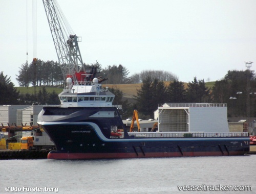
North Purpose
Current StatusWhere is the vessel?
North Purpose is currently in 17 nm W of Echt, based on AIS data received less than 1h ago.
Latest AIS update:
Current position: 57.03167° N, 1.93167° E (17 nm W of Echt)
Average speed (last 7 days): Loading…
Average speed (last 30 days): Loading…
Vessel profile: North Purpose is a Offshore Tug Supply Ship with dimensions 19m x 86m.
This page combines live AIS, route history, probable destination signals, nearby traffic, and port activity for practical vessel monitoring.
The current position of vessel North Purpose is 57.03167 lat / 1.93167 lng. Updated: 2026-04-27 19:24:53 UTCNearest reference points:
- 19 nm W of Curlew
- Near Alba Oil Field
- 26 nm W of Cleghorn
Details:
Live Vessel North Purpose Analytics (details, animations, etc.)
Recent AIS points (UTC):
2026-04-27 15:57:54 UTC · 57.02833, 1.95333 · SOG 0 kn · COG -1°2026-04-27 16:30:53 UTC · 57.02833, 1.93333 · SOG 0 kn · COG -1°
2026-04-27 16:30:53 UTC · 57.02833, 1.93333 · SOG 0 kn · COG -1°
2026-04-27 19:24:53 UTC · 57.03167, 1.93167 · SOG 0 kn · COG -1°