 vesseltracker.com
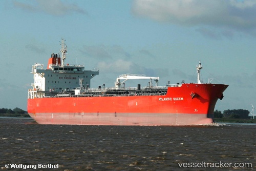
 TORM INDIA
Current Status
Where is the vessel?
TORM INDIA is currently in 60 nm S of Boboras, based on AIS data received less than 1h ago.
Latest AIS update:
Current position: 45.43621° N, 8.26281° W (60 nm S of Boboras)
Average speed (last 7 days): Loading…
Average speed (last 30 days): Loading…
Vessel profile: TORM INDIA is a Chemical/Oil Products Tanker with dimensions 183m x 32m.
This page combines live AIS, route history, probable destination signals, nearby traffic, and port activity for practical vessel monitoring.
The current position of vessel TORM INDIA is 45.43621 lat / -8.26281 lng. Updated: 2026-05-15 23:41:47 UTCNearest reference points:
- 57 nm S of Boboras
- 22 nm N of Carino
- 15 nm NW of CEDEIRA
Currently sailing under the flag of Denmark (DIS) ![]()
TORM INDIA built in 2010 year
Deadweight:
46838 tDetails:
Live Vessel TORM INDIA Analytics (details, animations, etc.)
Recent AIS points (UTC):
2026-05-15 19:51:50 UTC · 44.72500, -8.82333 · SOG 12 kn · COG -1°2026-05-15 21:24:49 UTC · 45.01167, -8.59500 · SOG 12 kn · COG -1°
2026-05-15 22:39:52 UTC · 45.24167, -8.40500 · SOG 12 kn · COG -1°
2026-05-15 23:41:47 UTC · 45.43621, -8.26281 · SOG 12.9 kn · COG 28°