 vesseltracker.com
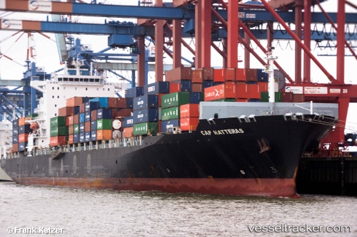
 DUBAI EXPRESS
Current Status
Where is the vessel?
DUBAI EXPRESS is currently in Near Zandvliet, based on AIS data received about 2h ago.
Latest AIS update:
Current position: 51.35243° N, 4.25726° E (Near Zandvliet)
Average speed (last 7 days): Loading…
Average speed (last 30 days): Loading…
Vessel profile: DUBAI EXPRESS is a Container Ship with dimensions m x m.
This page combines live AIS, route history, probable destination signals, nearby traffic, and port activity for practical vessel monitoring.
The current position of vessel DUBAI EXPRESS is 51.35243 lat / 4.25726 lng. Updated: 2026-05-15 01:13:34 UTCNearest reference points:
- Near Doel
- Near Kallo
- Near Verrebroek
Currently sailing under the flag of Liberia ![]()
Details:
Live Vessel DUBAI EXPRESS Analytics (details, animations, etc.)
Recent AIS points (UTC):
2026-05-14 21:59:03 UTC · 51.35167, 4.25667 · SOG 0 kn · COG -1°2026-05-14 22:35:03 UTC · 51.35167, 4.25667 · SOG 0 kn · COG -1°
2026-05-14 23:58:37 UTC · 51.35249, 4.25706 · SOG 0 kn · COG 293°
2026-05-15 01:13:34 UTC · 51.35243, 4.25726 · SOG 0 kn · COG 292°