 vesseltracker.com
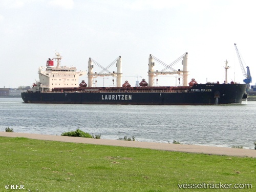
 KIRA OCEAN
Current Status
Where is the vessel?
KIRA OCEAN is currently in 10 nm SE of Qidong Pt, based on AIS data received about 2h ago.
Latest AIS update:
Current position: 31.69037° N, 121.80562° E (10 nm SE of Qidong Pt)
Average speed (last 7 days): Loading…
Average speed (last 30 days): Loading…
Vessel profile: KIRA OCEAN is a Bulk Carrier with dimensions m x m.
This page combines live AIS, route history, probable destination signals, nearby traffic, and port activity for practical vessel monitoring.
The current position of vessel KIRA OCEAN is 31.69037 lat / 121.80562 lng. Updated: 2026-04-27 04:55:52 UTCNearest reference points:
- Near Gonglu
- 15 nm NE of Gonglu
- Near Wu-Sung
Currently sailing under the flag of Marshall Islands ![]()
Details:
Live Vessel KIRA OCEAN Analytics (details, animations, etc.)
Recent AIS points (UTC):
2026-04-27 01:58:46 UTC · 31.69038, 121.80562 · SOG 0 kn · COG 23°2026-04-27 02:22:49 UTC · 31.69036, 121.80563 · SOG 0 kn · COG 23°
2026-04-27 03:31:52 UTC · 31.69036, 121.80562 · SOG 0 kn · COG 23°
2026-04-27 04:55:52 UTC · 31.69037, 121.80562 · SOG 0 kn · COG 23°