 vesseltracker.com
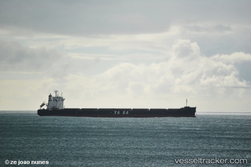
Yasa H.mulla
Current StatusWhere is the vessel?
Yasa H.mulla is currently in 131 nm E of Belle Mare, based on AIS data received less than 1h ago.
Latest AIS update:
Current position: 19.49682° S, 59.96687° E (131 nm E of Belle Mare)
Average speed (last 7 days): Loading…
Average speed (last 30 days): Loading…
Vessel profile: Yasa H.mulla is a Bulk Carrier with dimensions 32m x 229m.
This page combines live AIS, route history, probable destination signals, nearby traffic, and port activity for practical vessel monitoring.
The current position of vessel Yasa H.mulla is -19.49682 lat / 59.96687 lng. Updated: 2026-05-14 15:50:50 UTCNearest reference points:
- 159 nm W of Rodrigues
- 106 nm NW of Port Mathurin
- Near Port Louis
Details:
Live Vessel Yasa H.mulla Analytics (details, animations, etc.)
Recent AIS points (UTC):
2026-05-14 11:28:44 UTC · -19.90462, 59.32706 · SOG 9.9 kn · COG 56°2026-05-14 13:53:03 UTC · -19.69106, 59.68178 · SOG 10 kn · COG 53°
2026-05-14 14:10:53 UTC · -19.66267, 59.72495 · SOG 10.1 kn · COG 54°
2026-05-14 15:50:50 UTC · -19.49682, 59.96687 · SOG 10.4 kn · COG 54°