 vesseltracker.com
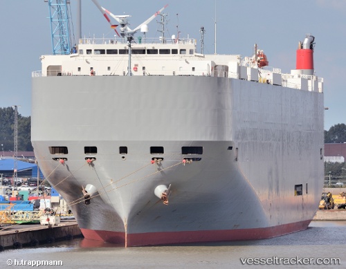
 Athens Highway
Current Status
Where is the vessel?
Athens Highway is currently in 98 nm N of Ben Slimane, based on AIS data received about 1h ago.
Latest AIS update:
Current position: 35.11085° N, 70.45180° W (98 nm N of Ben Slimane)
Average speed (last 7 days): Loading…
Average speed (last 30 days): Loading…
Vessel profile: Athens Highway is a Vehicles Carrier with dimensions 200m x 200m.
This page combines live AIS, route history, probable destination signals, nearby traffic, and port activity for practical vessel monitoring.
The current position of vessel Athens Highway is 35.11085 lat / -70.45180 lng. Updated: 2026-05-13 22:57:52 UTCNearest reference points:
- 169 nm NE of Ben Slimane
- 187 nm SE of Offshore Ambrose
Currently sailing under the flag of Japan ![]()
Athens Highway built in 2008 year
Deadweight:
18809 tDetails:
Live Vessel Athens Highway Analytics (details, animations, etc.)
Recent AIS points (UTC):
2026-05-13 19:44:26 UTC · 35.94648, -70.70898 · SOG 16.1 kn · COG 168°2026-05-13 19:45:37 UTC · 35.94180, -70.70757 · SOG 16.1 kn · COG 168°
2026-05-13 21:32:19 UTC · 35.48115, -70.56617 · SOG 16 kn · COG 164°
2026-05-13 22:57:52 UTC · 35.11085, -70.45180 · SOG 16.2 kn · COG 164°