 vesseltracker.com
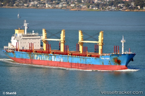
 LUCKY HONG
Current Status
Where is the vessel?
LUCKY HONG is currently in 36 nm SW of La Esmeralda, based on AIS data received less than 1h ago.
Latest AIS update:
Current position: 7.98111° N, 79.45011° W (36 nm SW of La Esmeralda)
Average speed (last 7 days): Loading…
Average speed (last 30 days): Loading…
Vessel profile: LUCKY HONG is a Bulk Carrier with dimensions 180m x 28m.
This page combines live AIS, route history, probable destination signals, nearby traffic, and port activity for practical vessel monitoring.
The current position of vessel LUCKY HONG is 7.98111 lat / -79.45011 lng. Updated: 2026-05-15 04:15:46 UTCNearest reference points:
- 30 nm E of El Cirial (Isla Iguana)
- Near Saboga
- Near Melones
Currently sailing under the flag of Panama ![]()
LUCKY HONG built in 2009 year
Deadweight:
32919 tDetails:
Live Vessel LUCKY HONG Analytics (details, animations, etc.)
Recent AIS points (UTC):
2026-05-14 23:10:17 UTC · 8.87246, -79.50993 · SOG 9.8 kn · COG 140°2026-05-14 23:34:46 UTC · 8.81225, -79.46994 · SOG 11 kn · COG 169°
2026-05-15 03:57:05 UTC · 8.03187, -79.45432 · SOG 9.6 kn · COG 169°
2026-05-15 04:15:46 UTC · 7.98111, -79.45011 · SOG 9.7 kn · COG 171°