 vesseltracker.com
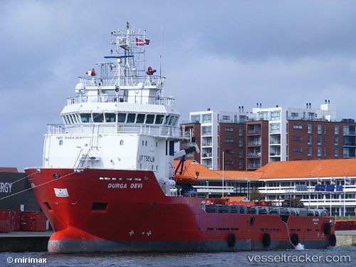
 GEO MARITIMER
Current Status
Where is the vessel?
GEO MARITIMER is currently in Near RAS LAFFAN, based on AIS data received about 5d ago.
Latest AIS update:
Current position: 25.99668° N, 51.69900° E (Near RAS LAFFAN)
Average speed (last 7 days): Loading…
Average speed (last 30 days): Loading…
Vessel profile: GEO MARITIMER is a Offshore Supply Ship with dimensions m x m.
This page combines live AIS, route history, probable destination signals, nearby traffic, and port activity for practical vessel monitoring.
The current position of vessel GEO MARITIMER is 25.99668 lat / 51.69900 lng. Updated: 2026-05-10 19:13:07 UTCNearest reference points:
- Near RAS LAFFAN
- Near KHALIFA BIN SALMAN
- 21 nm NE of Halul Island
Currently sailing under the flag of Liberia ![]()
Details:
Live Vessel GEO MARITIMER Analytics (details, animations, etc.)
Recent AIS points (UTC):
2026-05-10 19:13:07 UTC · 25.99668, 51.69900 · SOG 1.5 kn · COG 307°2026-05-10 19:13:07 UTC · 25.99668, 51.69900 · SOG 1.5 kn · COG 307°
2026-05-10 19:13:07 UTC · 25.99668, 51.69900 · SOG 1.5 kn · COG 307°
2026-05-10 19:13:07 UTC · 25.99668, 51.69900 · SOG 1.5 kn · COG 307°