 vesseltracker.com
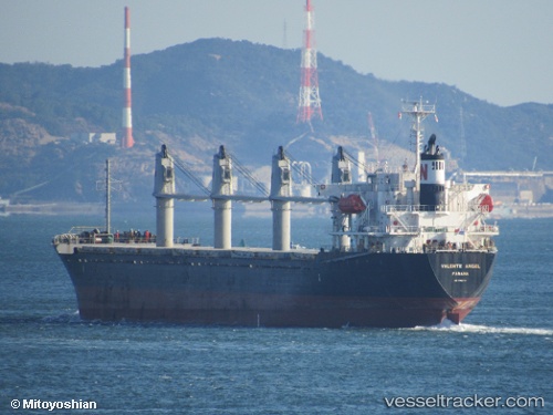
 DESPINA
Current Status
Where is the vessel?
DESPINA is currently in 17 nm SW of Gokceada, based on AIS data received about 4h ago.
Latest AIS update:
Current position: 40.01575° N, 25.62097° E (17 nm SW of Gokceada)
Average speed (last 7 days): Loading…
Average speed (last 30 days): Loading…
Vessel profile: DESPINA is a Bulk Carrier with dimensions 27m x 169m.
This page combines live AIS, route history, probable destination signals, nearby traffic, and port activity for practical vessel monitoring.
The current position of vessel DESPINA is 40.01575 lat / 25.62097 lng. Updated: 2026-05-18 00:13:07 UTCNearest reference points:
- 14 nm SW of Bozcaada
- 14 nm NW of Baba Point
- Near Bozcaada
Currently sailing under the flag of Liberia ![]()
DESPINA built in 2007 year
Deadweight:
28534 tDetails:
Live Vessel DESPINA Analytics (details, animations, etc.)
Recent AIS points (UTC):
2026-05-18 00:13:07 UTC · 40.01575, 25.62097 · SOG 0 kn · COG 120°2026-05-18 00:13:07 UTC · 40.01575, 25.62097 · SOG 0 kn · COG 120°
2026-05-18 00:13:07 UTC · 40.01575, 25.62097 · SOG 0 kn · COG 120°
2026-05-18 00:13:07 UTC · 40.01575, 25.62097 · SOG 0 kn · COG 120°