 vesseltracker.com
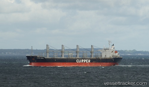
 SKY GATE
Current Status
Where is the vessel?
SKY GATE is currently in 11 nm NE of RUMELI FENERI, based on AIS data received about 7h ago.
Latest AIS update:
Current position: 41.39845° N, 29.23393° E (11 nm NE of RUMELI FENERI)
Average speed (last 7 days): Loading…
Average speed (last 30 days): Loading…
Vessel profile: SKY GATE is a Bulk Carrier with dimensions 169m x 27m.
This page combines live AIS, route history, probable destination signals, nearby traffic, and port activity for practical vessel monitoring.
The current position of vessel SKY GATE is 41.39845 lat / 29.23393 lng. Updated: 2026-04-25 14:10:14 UTCNearest reference points:
- Near RUMELI FENERI
- 19 nm NE of RUMELI FENERI
- Near Istinye/Istambul
Currently sailing under the flag of San Marino ![]()
SKY GATE built in 2008 year
Deadweight:
28397 tDetails:
Live Vessel SKY GATE Analytics (details, animations, etc.)
Recent AIS points (UTC):
2026-04-25 14:10:14 UTC · 41.39845, 29.23393 · SOG 0.4 kn · COG 96°2026-04-25 14:10:14 UTC · 41.39845, 29.23393 · SOG 0.4 kn · COG 96°
2026-04-25 14:10:14 UTC · 41.39845, 29.23393 · SOG 0.4 kn · COG 96°
2026-04-25 14:10:14 UTC · 41.39845, 29.23393 · SOG 0.4 kn · COG 96°