 vesseltracker.com
 TALAY
TALAY
Current Status
Where is the vessel?
TALAY is currently in 97 nm NW of Cide, based on AIS data received less than 1h ago.
Latest AIS update:
Current position: 43.27862° N, 31.85118° E (97 nm NW of Cide)
Average speed (last 7 days): Loading…
Average speed (last 30 days): Loading…
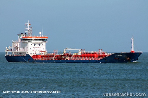
Vessel profile: TALAY is a Oil/Chemical Tanker with dimensions m x m.
This page combines live AIS, route history, probable destination signals, nearby traffic, and port activity for practical vessel monitoring.
The current position of vessel TALAY is 43.27862 lat / 31.85118 lng. Updated: 2026-05-15 18:16:44 UTCNearest reference points:
- Near Cide
- 27 nm NW of INEBOLU
- 18 nm NW of INEBOLU
Currently sailing under the flag of Marshall Islands ![]()
Details:
Live Vessel TALAY Analytics (details, animations, etc.)
Recent AIS points (UTC):
2026-05-15 04:20:44 UTC · 42.00769, 33.07883 · SOG 0.4 kn · COG 15°2026-05-15 16:10:35 UTC · 43.15175, 32.23647 · SOG 8.8 kn · COG 293°
2026-05-15 17:02:44 UTC · 43.20410, 32.07223 · SOG 9.1 kn · COG 296°
2026-05-15 18:16:44 UTC · 43.27862, 31.85118 · SOG 8 kn · COG 295°