 vesseltracker.com
 Mount Dampier
Current Status
Where is the vessel?
Mount Dampier is currently in Near Ky Ha Terminal, based on AIS data received less than 1h ago.
Latest AIS update:
Current position: 15.48968° N, 108.73668° E (Near Ky Ha Terminal)
Average speed (last 7 days): Loading…
Average speed (last 30 days): Loading…
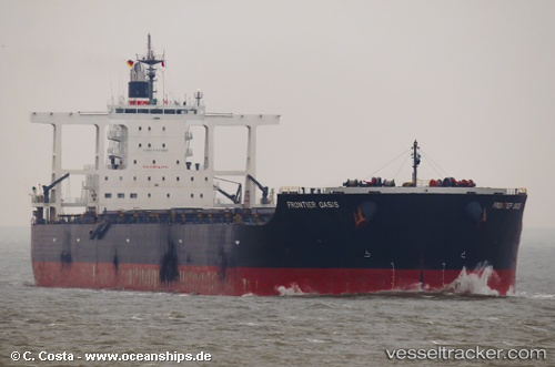
Vessel profile: Mount Dampier is a Bulk Carrier with dimensions 292m x 45m.
This page combines live AIS, route history, probable destination signals, nearby traffic, and port activity for practical vessel monitoring.
The current position of vessel Mount Dampier is 15.48968 lat / 108.73668 lng. Updated: 2026-05-15 11:27:35 UTCNearest reference points:
- Near DUNG QUAT
- Near Thuan An
- 23 nm E of Hai Son
Currently sailing under the flag of Liberia ![]()
Mount Dampier built in 2011 year
Deadweight:
181469 tDetails:
Live Vessel Mount Dampier Analytics (details, animations, etc.)
Recent AIS points (UTC):
2026-05-15 08:24:29 UTC · 15.48985, 108.73076 · SOG 0.1 kn · COG 78°2026-05-15 10:00:37 UTC · 15.49302, 108.73313 · SOG 0.2 kn · COG 176°
2026-05-15 10:00:37 UTC · 15.49302, 108.73313 · SOG 0.2 kn · COG 176°
2026-05-15 11:27:35 UTC · 15.48968, 108.73668 · SOG 0.2 kn · COG 295°