 vesseltracker.com
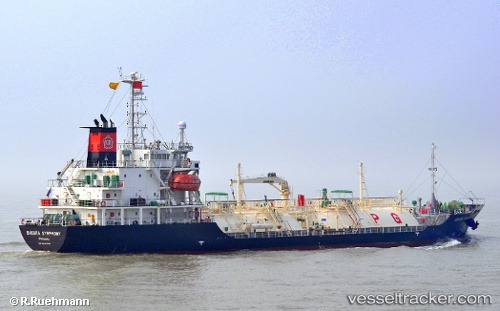
 LADY THALASSA
Current Status
Where is the vessel?
LADY THALASSA is currently in 64 nm NE of Tan Cang Qui Nhon, based on AIS data received about 2h ago.
Latest AIS update:
Current position: 14.75167° N, 110.26667° E (64 nm NE of Tan Cang Qui Nhon)
Average speed (last 7 days): Loading…
Average speed (last 30 days): Loading…
Vessel profile: LADY THALASSA is a LPG Tanker with dimensions 15m x 95m.
This page combines live AIS, route history, probable destination signals, nearby traffic, and port activity for practical vessel monitoring.
The current position of vessel LADY THALASSA is 14.75167 lat / 110.26667 lng. Updated: 2026-05-13 21:31:26 UTCNearest reference points:
- 17 nm NE of Bong Son
- Near Bong Son
- 29 nm NE of Vung Ro
Currently sailing under the flag of Panama ![]()
LADY THALASSA built in 2008 year
Deadweight:
3161 tDetails:
Live Vessel LADY THALASSA Analytics (details, animations, etc.)
Recent AIS points (UTC):
2026-05-13 19:07:25 UTC · 14.28333, 110.10333 · SOG 12 kn · COG -1°2026-05-13 20:04:28 UTC · 14.46667, 110.17167 · SOG 12 kn · COG -1°
2026-05-13 21:31:26 UTC · 14.75167, 110.26667 · SOG 12 kn · COG -1°
2026-05-13 21:31:26 UTC · 14.75167, 110.26667 · SOG 12 kn · COG -1°