 vesseltracker.com
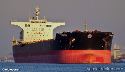
 EVGENIA P.
Current Status
Where is the vessel?
EVGENIA P. is currently in 309 nm SE of Inhambane, based on AIS data received less than 1h ago.
Latest AIS update:
Current position: 27.75542° S, 39.08327° E (309 nm SE of Inhambane)
Average speed (last 7 days): Loading…
Average speed (last 30 days): Loading…
Vessel profile: EVGENIA P. is a Bulk Carrier with dimensions 45m x 292m.
This page combines live AIS, route history, probable destination signals, nearby traffic, and port activity for practical vessel monitoring.
The current position of vessel EVGENIA P. is -27.75542 lat / 39.08327 lng. Updated: 2026-05-14 19:45:10 UTCNearest reference points:
- 358 nm E of Richards Bay
- Open sea, approx. 401 nm off the nearest listed port
- Open sea, approx. 403 nm off the nearest listed port
Currently sailing under the flag of Marshall Islands ![]()
EVGENIA P. built in 2011 year
Deadweight:
175101 tDetails:
Live Vessel EVGENIA P. Analytics (details, animations, etc.)
Recent AIS points (UTC):
2026-05-14 16:06:45 UTC · -27.65123, 39.77278 · SOG 9.9 kn · COG 261°2026-05-14 18:22:30 UTC · -27.71299, 39.34463 · SOG 9.9 kn · COG 257°
2026-05-14 19:40:05 UTC · -27.75216, 39.09951 · SOG 10.1 kn · COG 255°
2026-05-14 19:45:10 UTC · -27.75542, 39.08327 · SOG 10.8 kn · COG 254°