 vesseltracker.com
 Paleisgracht
Current Status
Where is the vessel?
Paleisgracht is currently in 26 nm N of Krueng Geukueh, based on AIS data received less than 1h ago.
Latest AIS update:
Current position: 5.68667° N, 97.08333° E (26 nm N of Krueng Geukueh)
Average speed (last 7 days): Loading…
Average speed (last 30 days): Loading…
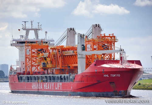
Vessel profile: Paleisgracht is a Heavy Load Carrier with dimensions 168m x 26m.
This page combines live AIS, route history, probable destination signals, nearby traffic, and port activity for practical vessel monitoring.
The current position of vessel Paleisgracht is 5.68667 lat / 97.08333 lng. Updated: 2026-05-14 09:49:54 UTCNearest reference points:
- 45 nm NE of Krueng Geukueh
- 34 nm N of Langsa Venture FPSO
- 45 nm N of Langsa Venture FPSO
Currently sailing under the flag of Netherlands ![]()
Paleisgracht built in 2011 year
Deadweight:
19496 tDetails:
Live Vessel Paleisgracht Analytics (details, animations, etc.)
Recent AIS points (UTC):
2026-05-14 05:53:56 UTC · 5.96938, 96.25718 · SOG 13.1 kn · COG 106°2026-05-14 07:13:53 UTC · 5.87333, 96.52833 · SOG 12 kn · COG -1°
2026-05-14 07:25:56 UTC · 5.85833, 96.57000 · SOG 13 kn · COG -1°
2026-05-14 09:49:54 UTC · 5.68667, 97.08333 · SOG 13 kn · COG -1°