 vesseltracker.com
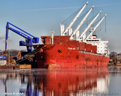
 KALLISTI
Current Status
Where is the vessel?
KALLISTI is currently in Near Gafanha da Nazaré, based on AIS data received less than 1h ago.
Latest AIS update:
Current position: 40.64332° N, 8.72492° W (Near Gafanha da Nazaré)
Average speed (last 7 days): Loading…
Average speed (last 30 days): Loading…
Vessel profile: KALLISTI is a Bulk Carrier with dimensions m x m.
This page combines live AIS, route history, probable destination signals, nearby traffic, and port activity for practical vessel monitoring.
The current position of vessel KALLISTI is 40.64332 lat / -8.72492 lng. Updated: 2026-05-15 16:35:35 UTCNearest reference points:
- Near Gafanha da Nazaré
- Near Matosinhos
- Near Figuera Da Foz
Currently sailing under the flag of Marshall Islands ![]()
Details:
Live Vessel KALLISTI Analytics (details, animations, etc.)
Recent AIS points (UTC):
2026-05-15 13:05:31 UTC · 40.64328, -8.72494 · SOG 0 kn · COG 331°2026-05-15 13:47:31 UTC · 40.64331, -8.72494 · SOG 0 kn · COG 331°
2026-05-15 15:59:33 UTC · 40.64332, -8.72492 · SOG 0 kn · COG 331°
2026-05-15 16:35:35 UTC · 40.64332, -8.72492 · SOG 0 kn · COG 331°