 vesseltracker.com
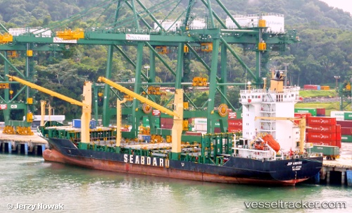
 MSC AMIHAN F
Current Status
Where is the vessel?
MSC AMIHAN F is currently in Near SOZOPOL, based on AIS data received less than 1h ago.
Latest AIS update:
Current position: 42.49679° N, 27.59798° E (Near SOZOPOL)
Average speed (last 7 days): Loading…
Average speed (last 30 days): Loading…
Vessel profile: MSC AMIHAN F is a Container Ship with dimensions 23m x 139m.
This page combines live AIS, route history, probable destination signals, nearby traffic, and port activity for practical vessel monitoring.
The current position of vessel MSC AMIHAN F is 42.49679 lat / 27.59798 lng. Updated: 2026-04-25 13:01:55 UTCNearest reference points:
- Near Beloslav
- Near Ignatievo
- Near Varna
Currently sailing under the flag of Liberia ![]()
MSC AMIHAN F built in 2008 year
Deadweight:
11807 tDetails:
Live Vessel MSC AMIHAN F Analytics (details, animations, etc.)
Recent AIS points (UTC):
2026-04-25 10:06:25 UTC · 42.49503, 28.18264 · SOG 9.6 kn · COG 306°2026-04-25 10:09:06 UTC · 42.49943, 28.17486 · SOG 9.7 kn · COG 305°
2026-04-25 12:25:16 UTC · 42.49342, 27.67297 · SOG 9.8 kn · COG 256°
2026-04-25 13:01:55 UTC · 42.49679, 27.59798 · SOG 0.9 kn · COG 73°