 vesseltracker.com
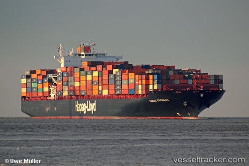
 NAGOYA EXPRESS
Current Status
Where is the vessel?
NAGOYA EXPRESS is currently in 143 nm NE of Fernando De Noronha, based on AIS data received about 1h ago.
Latest AIS update:
Current position: 1.74295° S, 31.27157° W (143 nm NE of Fernando De Noronha)
Average speed (last 7 days): Loading…
Average speed (last 30 days): Loading…
Vessel profile: NAGOYA EXPRESS is a Container Ship with dimensions m x m.
This page combines live AIS, route history, probable destination signals, nearby traffic, and port activity for practical vessel monitoring.
The current position of vessel NAGOYA EXPRESS is -1.74295 lat / -31.27157 lng. Updated: 2026-05-15 10:43:33 UTCCurrently sailing under the flag of Liberia ![]()
Details:
Live Vessel NAGOYA EXPRESS Analytics (details, animations, etc.)
Recent AIS points (UTC):
2026-05-15 07:39:56 UTC · -1.16100, -31.92424 · SOG 17.6 kn · COG 133°2026-05-15 07:56:17 UTC · -1.21167, -31.86167 · SOG 17 kn · COG -1°
2026-05-15 09:43:17 UTC · -1.55100, -31.47839 · SOG 16.9 kn · COG 134°
2026-05-15 10:43:33 UTC · -1.74295, -31.27157 · SOG 16.6 kn · COG 130°