 vesseltracker.com
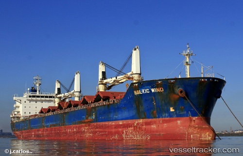
 DENIZ M
Current Status
Where is the vessel?
DENIZ M is currently in 13 nm N of Oye-Plage, based on AIS data received about 1h ago.
Latest AIS update:
Current position: 51.18838° N, 1.99043° E (13 nm N of Oye-Plage)
Average speed (last 7 days): Loading…
Average speed (last 30 days): Loading…
Vessel profile: DENIZ M is a Bulk Carrier with dimensions 180m x 180m.
This page combines live AIS, route history, probable destination signals, nearby traffic, and port activity for practical vessel monitoring.
The current position of vessel DENIZ M is 51.18838 lat / 1.99043 lng. Updated: 2026-05-14 05:45:50 UTCNearest reference points:
- 15 nm E of RAMSGATE
- Near Calais
- 14 nm SE of RAMSGATE
Currently sailing under the flag of Panama ![]()
DENIZ M built in 2009 year
Deadweight:
34409 tDetails:
Live Vessel DENIZ M Analytics (details, animations, etc.)
Recent AIS points (UTC):
2026-05-14 01:31:40 UTC · 50.64939, 1.24063 · SOG 11.3 kn · COG 50°2026-05-14 03:43:21 UTC · 50.97189, 1.56604 · SOG 10.1 kn · COG 40°
2026-05-14 04:34:50 UTC · 51.07437, 1.72336 · SOG 10 kn · COG 41°
2026-05-14 05:45:50 UTC · 51.18838, 1.99043 · SOG 10.7 kn · COG 59°