 vesseltracker.com
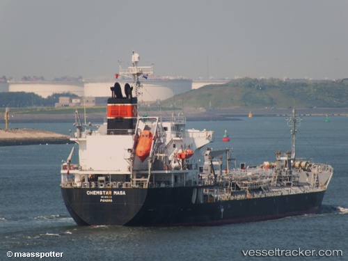
Chemstar Masa
Current StatusWhere is the vessel?
Chemstar Masa is currently in 43 nm E of Lü-hua Shan, based on AIS data received less than 1h ago.
Latest AIS update:
Current position: 30.82238° N, 123.44457° E (43 nm E of Lü-hua Shan)
Average speed (last 7 days): Loading…
Average speed (last 30 days): Loading…
Vessel profile: Chemstar Masa is a Chemical Oil Products Tanker with dimensions 24m x 148m.
This page combines live AIS, route history, probable destination signals, nearby traffic, and port activity for practical vessel monitoring.
The current position of vessel Chemstar Masa is 30.82238 lat / 123.44457 lng. Updated: 2026-05-15 15:42:11 UTCNearest reference points:
- 44 nm E of Lü-hua Shan
- 49 nm E of Lü-hua Shan
- 37 nm SE of Lü-hua Shan
Details:
Live Vessel Chemstar Masa Analytics (details, animations, etc.)
Recent AIS points (UTC):
2026-05-15 12:09:59 UTC · 30.20430, 123.14872 · SOG 5 kn · COG 59°2026-05-15 13:29:51 UTC · 30.39562, 123.26328 · SOG 13 kn · COG 31°
2026-05-15 14:26:43 UTC · 30.56193, 123.37845 · SOG 13.2 kn · COG 28°
2026-05-15 15:42:11 UTC · 30.82238, 123.44457 · SOG 13.1 kn · COG 337°