 vesseltracker.com
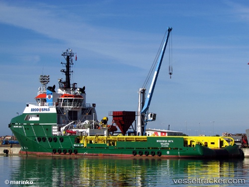
 NAVIGATOR Z
Current Status
Where is the vessel?
NAVIGATOR Z is currently in Near Cape Lopez, based on AIS data received less than 1h ago.
Latest AIS update:
Current position: 0.59473° S, 8.84927° E (Near Cape Lopez)
Average speed (last 7 days): Loading…
Average speed (last 30 days): Loading…
Vessel profile: NAVIGATOR Z is a Offshore Tug/Supply Ship with dimensions 67m x 16m.
This page combines live AIS, route history, probable destination signals, nearby traffic, and port activity for practical vessel monitoring.
The current position of vessel NAVIGATOR Z is -0.59473 lat / 8.84927 lng. Updated: 2026-04-20 06:02:06 UTCNearest reference points:
- Near Cape Lopez
- Near Port Gentil
Currently sailing under the flag of Panama ![]()
NAVIGATOR Z built in 2009 year
Deadweight:
1913 tDetails:
Live Vessel NAVIGATOR Z Analytics (details, animations, etc.)
Recent AIS points (UTC):
2026-04-20 02:20:57 UTC · -0.64652, 8.59412 · SOG 5.7 kn · COG 52°2026-04-20 03:43:26 UTC · -0.57968, 8.69927 · SOG 5.8 kn · COG 82°
2026-04-20 04:35:27 UTC · -0.56852, 8.76160 · SOG 4 kn · COG 87°
2026-04-20 06:02:06 UTC · -0.59473, 8.84927 · SOG 5.2 kn · COG 198°