 vesseltracker.com
 DIMI
DIMI
Current Status
Where is the vessel?
DIMI is currently in Near Taku Bar, based on AIS data received less than 1h ago.
Latest AIS update:
Current position: 38.93942° N, 118.13593° E (Near Taku Bar)
Average speed (last 7 days): Loading…
Average speed (last 30 days): Loading…
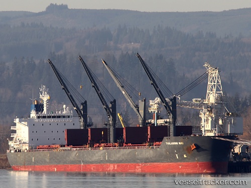
Vessel profile: DIMI is a Bulk Carrier with dimensions m x m.
This page combines live AIS, route history, probable destination signals, nearby traffic, and port activity for practical vessel monitoring.
The current position of vessel DIMI is 38.93942 lat / 118.13593 lng. Updated: 2026-05-14 15:33:12 UTCNearest reference points:
- Near Dagu Bar
- Near Taku Bar
- Near Caofeidian Pt
Currently sailing under the flag of Panama ![]()
Details:
Live Vessel DIMI Analytics (details, animations, etc.)
Recent AIS points (UTC):
2026-05-14 12:21:13 UTC · 38.93909, 118.13559 · SOG 0.1 kn · COG 102°2026-05-14 13:27:13 UTC · 38.93932, 118.13576 · SOG 0.1 kn · COG 107°
2026-05-14 14:21:13 UTC · 38.93932, 118.13575 · SOG 0.1 kn · COG 112°
2026-05-14 15:33:12 UTC · 38.93942, 118.13593 · SOG 0.2 kn · COG 124°