 vesseltracker.com
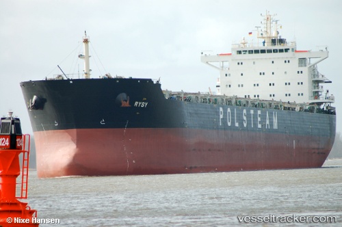
 RC ARTEMIS
Current Status
Where is the vessel?
RC ARTEMIS is currently in Near El Saler, based on AIS data received less than 1h ago.
Latest AIS update:
Current position: 39.40416° N, 0.25166° W (Near El Saler)
Average speed (last 7 days): Loading…
Average speed (last 30 days): Loading…
Vessel profile: RC ARTEMIS is a Bulk Carrier with dimensions m x m.
This page combines live AIS, route history, probable destination signals, nearby traffic, and port activity for practical vessel monitoring.
The current position of vessel RC ARTEMIS is 39.40416 lat / -0.25166 lng. Updated: 2026-05-13 16:27:39 UTCNearest reference points:
- Near Valencia
- Near Puebla de Farnals
- Near GANDIA
Currently sailing under the flag of Marshall Islands ![]()
Details:
Live Vessel RC ARTEMIS Analytics (details, animations, etc.)
Recent AIS points (UTC):
2026-05-13 13:24:44 UTC · 39.40418, -0.25182 · SOG 0 kn · COG 157°2026-05-13 13:51:38 UTC · 39.40418, -0.25213 · SOG 0 kn · COG 153°
2026-05-13 15:42:44 UTC · 39.40405, -0.25216 · SOG 0 kn · COG 150°
2026-05-13 16:27:39 UTC · 39.40416, -0.25166 · SOG 0 kn · COG 159°