 vesseltracker.com
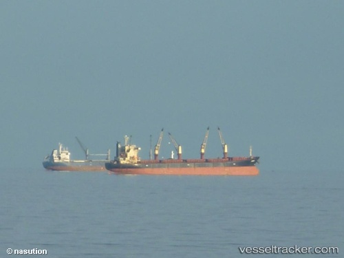
 JACOB H
Current Status
Where is the vessel?
JACOB H is currently in 106 nm NW of Sapiranga, based on AIS data received about 1h ago.
Latest AIS update:
Current position: 28.42543° S, 26.58353° W (106 nm NW of Sapiranga)
Average speed (last 7 days): Loading…
Average speed (last 30 days): Loading…
Vessel profile: JACOB H is a Bulk Carrier with dimensions 32m x 190m.
This page combines live AIS, route history, probable destination signals, nearby traffic, and port activity for practical vessel monitoring.
The current position of vessel JACOB H is -28.42543 lat / -26.58353 lng. Updated: 2026-04-19 15:36:24 UTCCurrently sailing under the flag of Panama ![]()
JACOB H built in 2011 year
Deadweight:
57001 tDetails:
Live Vessel JACOB H Analytics (details, animations, etc.)
Recent AIS points (UTC):
2026-04-19 12:10:55 UTC · -28.56722, -25.83475 · SOG 11.7 kn · COG -1°2026-04-19 13:12:14 UTC · -28.51783, -26.05592 · SOG 11.8 kn · COG -1°
2026-04-19 13:56:15 UTC · -28.48490, -26.21630 · SOG 11.8 kn · COG -1°
2026-04-19 15:36:24 UTC · -28.42543, -26.58353 · SOG 11.7 kn · COG -1°