 vesseltracker.com
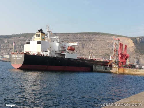
 HENRIQUE DIAS
Current Status
Where is the vessel?
HENRIQUE DIAS is currently in 284 nm SW of Tsiombe, based on AIS data received less than 1h ago.
Latest AIS update:
Current position: 29.16587° S, 42.40305° E (284 nm SW of Tsiombe)
Average speed (last 7 days): Loading…
Average speed (last 30 days): Loading…
Vessel profile: HENRIQUE DIAS is a Tanker with dimensions m x m.
This page combines live AIS, route history, probable destination signals, nearby traffic, and port activity for practical vessel monitoring.
The current position of vessel HENRIQUE DIAS is -29.16587 lat / 42.40305 lng. Updated: 2026-05-14 11:28:44 UTCNearest reference points:
- 391 nm SW of Tsiombe
- Open sea, approx. 400 nm off the nearest listed port
- Open sea, approx. 402 nm off the nearest listed port
Details:
Live Vessel HENRIQUE DIAS Analytics (details, animations, etc.)
Recent AIS points (UTC):
2026-05-14 08:21:47 UTC · -28.95188, 43.02934 · SOG 10.2 kn · COG 250°2026-05-14 09:48:03 UTC · -29.05067, 42.73161 · SOG 10.8 kn · COG 246°
2026-05-14 10:46:04 UTC · -29.11822, 42.53951 · SOG 11.2 kn · COG 246°
2026-05-14 11:28:44 UTC · -29.16587, 42.40305 · SOG 10.4 kn · COG 246°