 vesseltracker.com
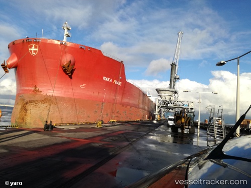
 Aquamaka
Current Status
Where is the vessel?
Aquamaka is currently in 35 nm E of DHAMRA, based on AIS data received about 6h ago.
Latest AIS update:
Current position: 20.94892° N, 87.57728° E (35 nm E of DHAMRA)
Average speed (last 7 days): Loading…
Average speed (last 30 days): Loading…
Vessel profile: Aquamaka is a Bulk Carrier with dimensions 292m x 292m.
This page combines live AIS, route history, probable destination signals, nearby traffic, and port activity for practical vessel monitoring.
The current position of vessel Aquamaka is 20.94892 lat / 87.57728 lng. Updated: 2026-04-28 07:24:29 UTCNearest reference points:
- 45 nm S of Contai
- 61 nm E of DHAMRA
- 16 nm SE of Contai
Currently sailing under the flag of Liberia ![]()
Aquamaka built in 2009 year
Deadweight:
179362 tDetails:
Live Vessel Aquamaka Analytics (details, animations, etc.)
Recent AIS points (UTC):
2026-04-28 07:24:29 UTC · 20.94892, 87.57728 · SOG 1.1 kn · COG 160°2026-04-28 07:24:29 UTC · 20.94892, 87.57728 · SOG 1.1 kn · COG 160°
2026-04-28 07:24:29 UTC · 20.94892, 87.57728 · SOG 1.1 kn · COG 160°
2026-04-28 07:24:29 UTC · 20.94892, 87.57728 · SOG 1.1 kn · COG 160°